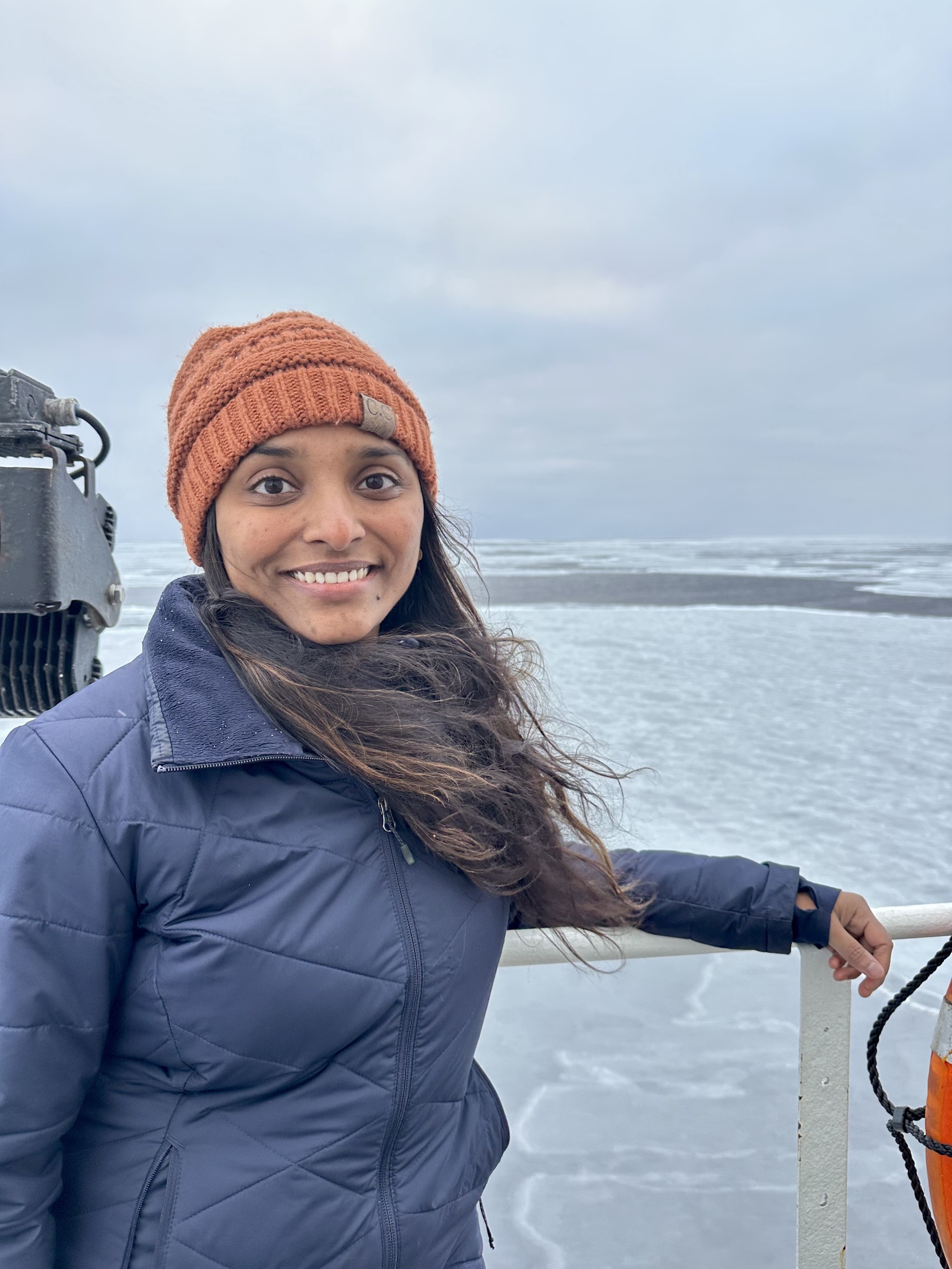
Pushyami Kaveti

Postdoctoral Fellow

Monterey Bay Aquarium Research Institute (MBARI)

Multi-camera perception • 3D Reconstruction • SLAM • Underwater & Field Robotics

I am a Postdoctoral Fellow at the Monterey Bay Aquarium Research Institute (MBARI), where I work on multi-modal perception for underwater robots. My research spans multi-camera sensing, 3D reconstruction, and Simultaneous Localization and Mapping (SLAM) in dynamic and visually degraded environments — from the deep ocean to Arctic glaciers.

I earned my Ph.D. in Computer Science (Robotics) from Northeastern University, advised by Dr. Hanumant Singh, with thesis committee members from MIT and Toyota Research Institute. My work has taken me to some of the most extreme environments on Earth, including the Arctic, Antarctic, and deep ocean, where I design and deploy perception systems on autonomous and remotely operated vehicles.

Pushyami Kaveti
Scroll

News

Selected updates across research, fieldwork, and appointments.

Aug 2025

Conducted an ROV survey of whale bones in Utqiagvik, Alaska, building 3D models to study ecological change over time.

Jun 2025

Joined MBARI as a Postdoctoral Fellow, focusing on multi-modal underwater perception, dense mapping, and self-supervised scene understanding.

2025

Published A Certifiably Correct Algorithm for Generalized Robot-World and Hand-Eye Calibration in The International Journal of Robotics Research.

2025

Presented Enhancing Situational Awareness in Underwater Robotics with Multi-modal Spatial Perception at the ICRA Workshop on Field Robotics.

2025

Presented 3D Vision for Underwater Robot Perception in the Context of AUV Operations at the AID Workshop.

Selected Publications

View full list on Google Scholar

Artwork for A Certifiably Correct Algorithm for Generalized Robot-World and Hand-Eye Calibration

A Certifiably Correct Algorithm for Generalized Robot-World and Hand-Eye Calibration

Wise, E., Kaveti, P., Chen, Q., Wang, W., Singh, H., Kelly, J., Rosen, D. M., & Giamou, M.

The International Journal of Robotics Research, 2025

PDF BibTeX Code Video
Artwork for Enhancing Situational Awareness in Underwater Robotics with Multi-modal Spatial Perception

Enhancing Situational Awareness in Underwater Robotics with Multi-modal Spatial Perception

Kaveti, P., Waldum, A. G., Singh, H., & Ludvigsen, M.

ICRA Workshop on Field Robotics, 2025

PDF BibTeX Code Video
Artwork for Considerations for Advancing Seafloor Imaging to Enable Long-term Monitoring

Considerations for Advancing Seafloor Imaging to Enable Long-term Monitoring

Preston, V., Kaveti, P., Giaya, D., Gupta, A., Lubetkin, M., Shank, T., Singh, H., & Fornari, D.

Journal of Ocean Technology, 2024

PDF BibTeX Code Video
Artwork for Towards Long Term SLAM on Thermal Imagery

Towards Long Term SLAM on Thermal Imagery

Keil, C., Gupta, A., Kaveti, P., & Singh, H.

IEEE/RSJ International Conference on Intelligent Robots and Systems (IROS), 2024

PDF BibTeX Code Video
Artwork for OASIS: Optimal Arrangements for Sensing in SLAM

OASIS: Optimal Arrangements for Sensing in SLAM

Kaveti, P., Giamou, M., Singh, H., & Rosen, D. M.

IEEE International Conference on Robotics and Automation (ICRA), 2024

PDF BibTeX Code Video

Field Deployments

Deploying robotic systems from the Arctic to the Antarctic

6 Expeditions
3 Continents
79°N–68°S Latitude Range
Utqiagvik71°N Chukchi Sea70°N Trondheim63°N Svalbard79°N Rothera68°S USADARPA
71.3°N, 156.8°W

ROV Survey of Whale Bones

Utqiagvik, Alaska

ROV survey studying the ecological significance of subsistence whale remains. Imagery used to construct and label 3D models and detect changes over time.

70°N, 168°W

Sea Ice Survey from USCGC Healy

Chukchi Sea, Alaska

Led ROV survey of freshly forming pancake sea ice aboard the Icebreaker Healy, collecting imagery and telemetry to analyze structural properties of Arctic sea ice.

63.4°N, 10.4°E

ROV Minerva — Shipwreck Mapping

Trondheim, Norway

Integrated multi-camera rig with inertial sensing on ROV Minerva to inspect subsea infrastructure and the shipwreck Hercules in the Trondheim fjord.

78.9°N, 11.9°E

Arctic Glacier Front Mapping

Ny Alesund, Svalbard

ASV field operations mapping Kongsbreen and Blomstranda glaciers to detect changes at active calving fronts.

67.6°S, 68.1°W

Antarctic Sea-Ice Study (DEFiANT)

Rothera, Antarctica

Designed camera units and software for the British Antarctic Survey's DEFiANT program, studying variability of Antarctic sea ice from aircraft.

25.8°N & 34.1°N

DARPA Robotics Challenge

Miami & Pomona, USA

Sensor integration and control software for Boston Dynamics' Atlas humanoid at IHMC. Team placed 2nd in the competition.

Open Source

Teaching & Mentoring

EECE 7150: Autonomous Field Robots

Lecturer • Fall 2023

Northeastern University. Complete teaching responsibility for this graduate-level course — designing syllabus, lectures, projects, and assignments.

EECE 5554: Robot Sensing & Navigation

Teaching Assistant • Spring 2020

Developed materials for the graduate-level course, mentored students on projects, and shared teaching and grading responsibilities.

Graduate Student Mentoring

Field Robotics Laboratory

Mentored multiple master's students on theses and projects in robotics and engineering, including students advised by Dr. Singh and Dr. Rosen.

In the Media

Robotics247

Northeastern Researchers Explore the Arctic With Robot to Learn How Fast Glaciers Are Melting

2023
Northeastern University News

How fast are Arctic glaciers melting? A team of Northeastern engineers explored the north with a robot and cameras to find out

2023
NU Institute of Experiential Robotics

Northeastern Team Advances to Finals of ANA Avatar XPRIZE

2022
NU College of Engineering

Creating a Human Avatar in Remote Locations

2021
IHMC

IHMC's Running Man Captures 2nd at DARPA Robotics Competition

2015

Get in Touch

I'm always interested in collaborations, speaking opportunities, and connecting with fellow researchers.